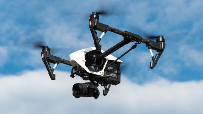
If the idea of flying robots building houses sounds like something out of a far-fetched sci-fi novel, think again. Drones are likely to become a regular feature on building sites over the next few years, and they’re offering multiple benefits to both industry and the environment.
The UK’s population is at an all-time high and is due to tip over the 73 million mark within the next 20 years. Whilst this puts property investors in a very comfortable position- people will always need houses- developers are struggling to meet demand. Central London estate agent, LDG says, “If there’s ever been a need to get housing projects completed efficiently and quickly, it’s now, so it’s no surprise that some of the most forward thinking construction companies in the country are investing in drones.”
Although they’re not quite building houses here just yet, these multi-tasking devices are becoming an increasingly common feature in the early stages of development work. Some of the most forward thinking construction companies in the UK have been using drones (also known as Unmanned Aerial Vehicles, or UAVs for short) for a while, and there’s been lots of positive feedback.
Drone
One of the first companies to introduce drones to the workforce was eco conscious construction company Egg Homes. Their luxury Lake District development Viver Green has been a landmark project, both in terms of new technology and green living. Set over 12 acres of peaceful greenery just a short drive from Kendal, the homes are all about living well and looking after the environment. All come complete with solar panels, intelligent controls, insulated floors and superfast broadband, as well as a high performing thermal envelope.
Since sustainability featured so high on the developer’s priority list, they invested in some UAVs to assist with the planning and surveying process. Best Gapp explains, “Land surveys are a notoriously time consuming and often dangerous process that has traditionally relied on team s of humans capturing data with the naked eye.” The introduction of UAVs has enabled construction companies to gain a 360 view of all stages of their developments, without the need for gas guzzling vehicles trampling across the grounds. Egg reported that using drones significantly helped them to reduce their carbon footprint at the same time as obtaining all the important data needed to facilitate the planning and development process. UAVs have proven to be a highly effective tool for assessing landscapes, structures and assessing plans, delivering the kind of accuracy that simply isn’t possible with the naked eye. The 3D images they take enable surveyors to build a comprehensive picture of the whole area, easily integrating with CAD software to create 3D models of terrain and plots.
There are three main ways in which drones are helping with surveys:
LiDAR
A bit like bats using sonar to find their way around, LiDar analyses the landscape by using rapid laser beam pulses, delivering fast, highly accurate calculations.
Photogrammetry
A job that has typically involved ground teams taking multiple photographs across different locations, this new form of topographical analysis is faster and easier than ever before.
NIR and Multispectral
Near Infra-Red and multispectral surveys allow for a close analysis of land by capturing images that are not visible to the human eye. This enables surveyors to look deep into the terrain, identifying issues that could delay the construction process or cause problems later on.
Kubie Gold summarises, “Drone technology has really helped residential developers to get their projects up and running quickly and accurately. At a time when the UK is experiencing a housing crisis, this will be good news for many.”


